
The Ruahine Forest Park lies south-west of Napier, running from the steep gorges of the Ngaruroro River, 100 km down a straight spine of rugged ridges to the Manawatu Gorge. The park is 24 km wide in the north reducing to a mere 8 km in the south. The Ruahine Range and four subsidiary ranges lie on the main North Island fault line. They are young in geological terms and are still uplifting, with extensive faulting and natural erosion.
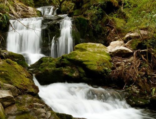
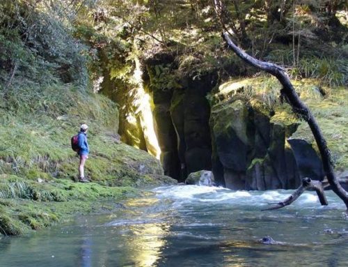
The park gives rise to four of the North Island’s large rivers; the Tukituki, Ngaruroro, Manawatu and Rangitikei. The tributary streams are generally fast flowing, falling off the steep ridges, and carrying large volumes of shingle down to Hawkes Bay.
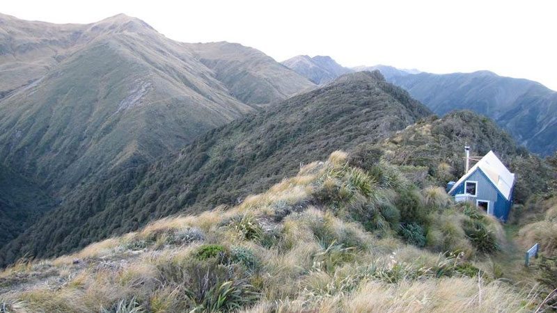
One of the most scenic areas is around Waterfall Hut, reached by crossing the Hikurangi Range. The track goes via Purity Hut, Wooden Peg Peak and Iron Peg Peak, where mountain buttercups add a cheery blaze of yellow as you ‘hoof it’ through the alpine tussock. From the Waterfall Hut a route leads to the highest point in the park, Mangaweka Peak (1,733 metres), where tranquil alpine tarns nestle in the windswept tussock.
There is great diversity in the park’s vegetation. Red and mountain beech predominates in the north, with leatherwood scrub above the forest, and herb field grasslands on the tops. In the south there is a mixture of forest and scrub, with open tussock. Hunters and fishermen make good use of this park, as there are moderate numbers of red deer, pigs and goats as well as plentiful brown and rainbow trout in the river systems.
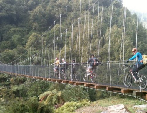
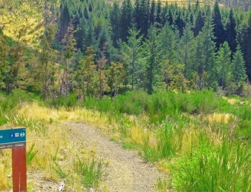
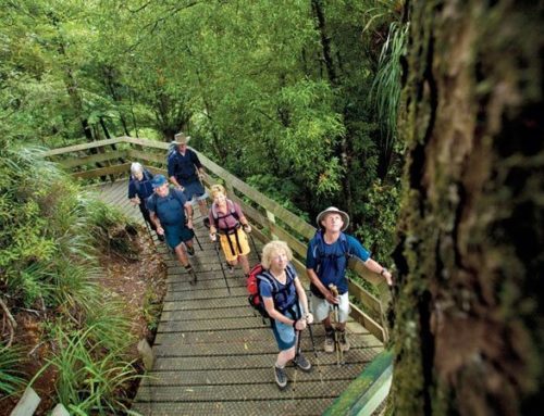
While the steep, eroded peaks of the Ruahine Range offer a challenge to keen trampers and hunters, the lower slopes have much appeal for family groups, bushwalkers and picnickers. Enjoy the short walks – they’re really delightful.

Leave A Comment